Road Conditions
For the most current and up-to-date information on road conditions, please refer to our Disaster Dashboard.
The Disaster Dashboard provides real-time updates on:
✅ Weather conditions
✅ Road conditions
✅ Power outages
✅ Emergency information
…and more.
Visit the dashboard: https://flindersdashboard.qitplus.com/
Opt-in for local alerts and check back regularly to help keep your family and community safe.
Other Road Condition Reports
Drive Past a Restricted Road Use Notice – During Wet Weather and Floods
Locals that require approval to drive past a Restricted Road use notice, please contact Transport and Main Roads Cloncurry Office. Use the attached application form to seek Single Trip access (one way trip only) or for Local area access (multiple trips).
Drive Past a Restricted Road Use Notice Application Form(PDF, 371KB)
Contact
Transport and Main Roads Cloncurry Office
Phone: 07 4769 3200 (Cloncurry Corridor)
Email: Cloncurry.Corridor@tmr.qld.gov.au
Flinders Shire Council – River Heights
http://www.bom.gov.au/cgi-bin/wrap_fwo.pl?IDQ60296.html#Flinders
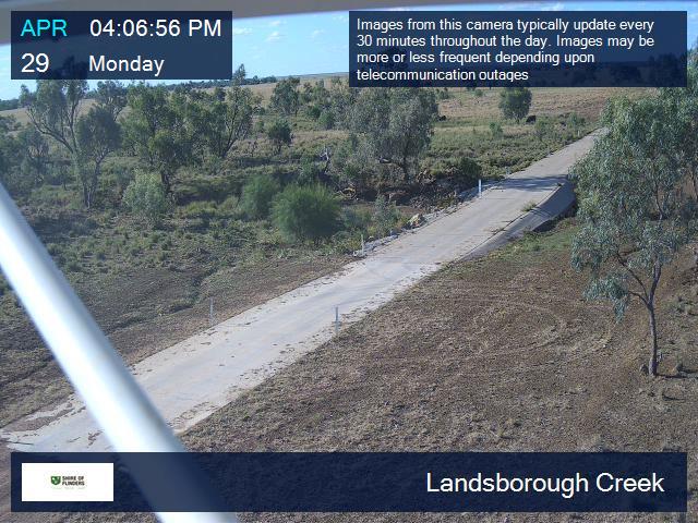
Flinders Shire Council - Flood Monitoring Camera
- Flinders River
- Basalt Byways (Torver Valley Road)
- Flinders Highway (Hughenden to Charters Towers)
- Kennedy Developmental Road (Hughenden to Lynd)
- Torrens Creek Aramac Road
- Hughenden to Muttaburra Road
- Old Muttaburra Road (via Hughenden to Muttaburra Road)
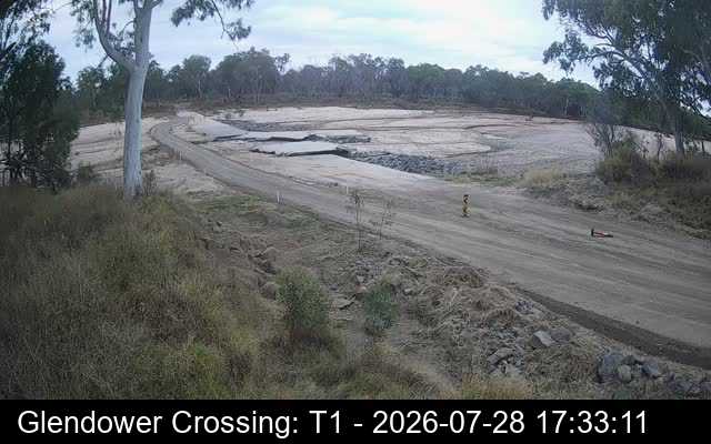
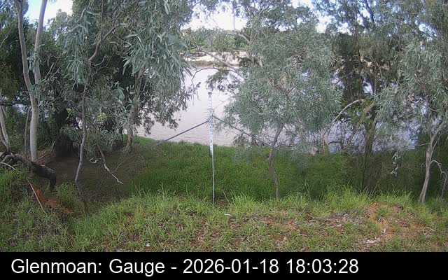
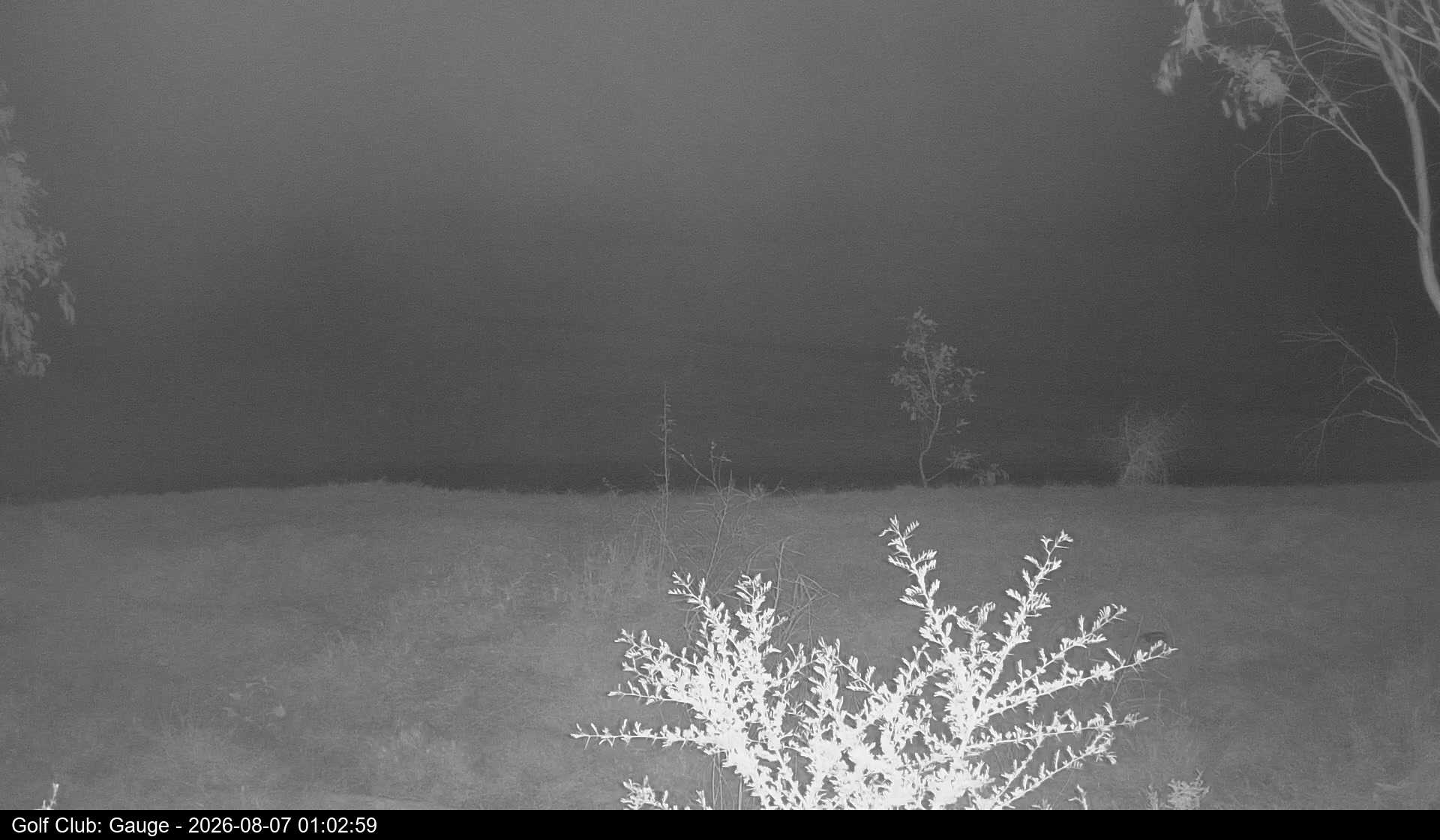
Flinders River
Glendower Crossing (Flinders River Byways)
Glentor Road: 30.6 km east northeast of Hughenden
Glenmoan
25 km east of Hughenden
Behind Hughenden Golf Club
2.5 km northeast of Hughenden
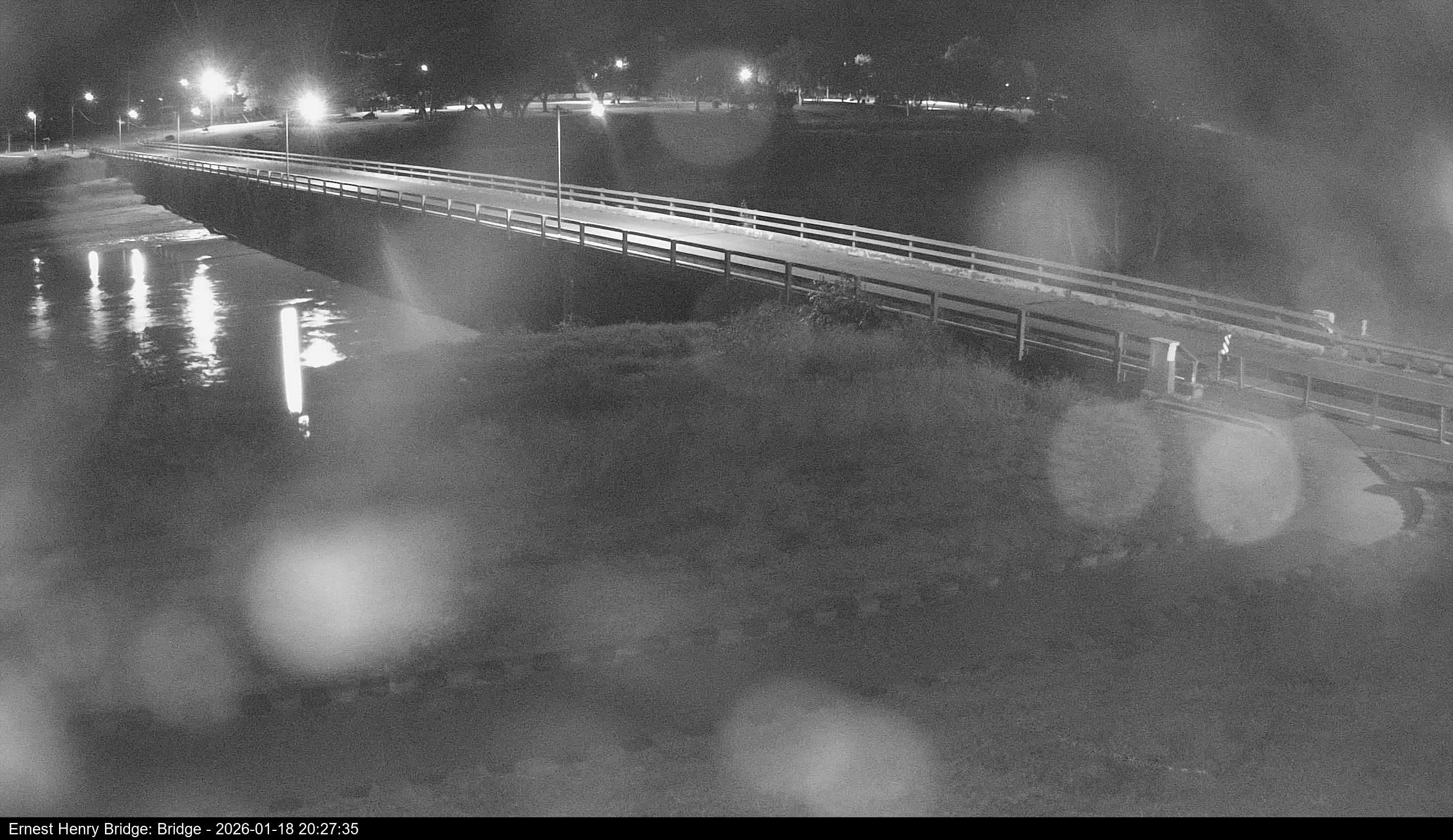
Ernest Henry Bridge (Flinders River)
Hughenden Town Centre
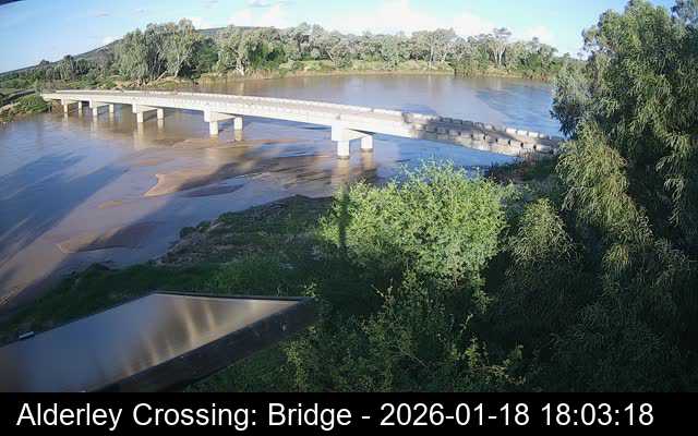
Alderley Crossing
Old Richmond Road: 43km west of Hughenden
Poseidon Crossing
Old Richmond Road: 61km west of Hughenden

Basalt Byways(Torver Valley Road)
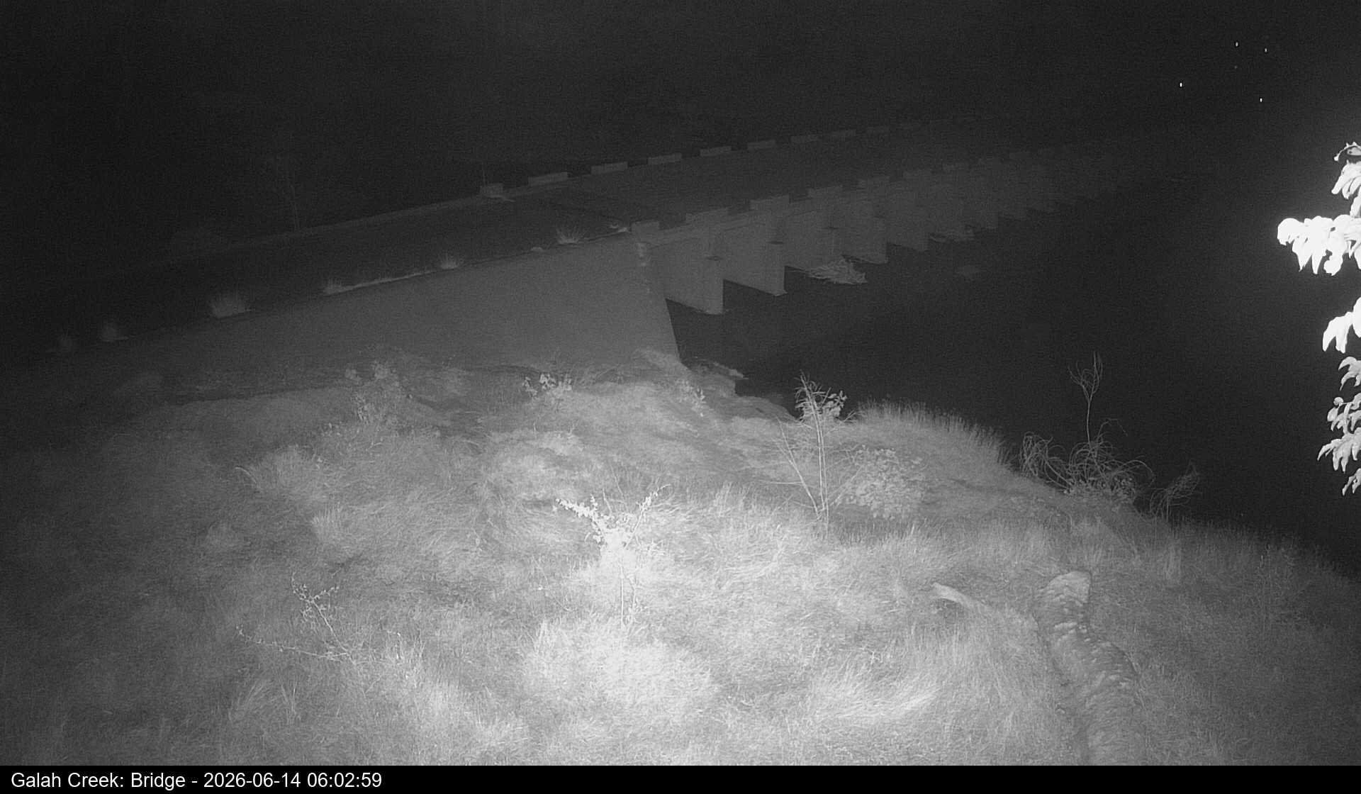
Galah Creek Bridge
Torver Valley Road: 6.7 km North of Hughenden
Flinders Highway (Hughenden to Charters Towers)
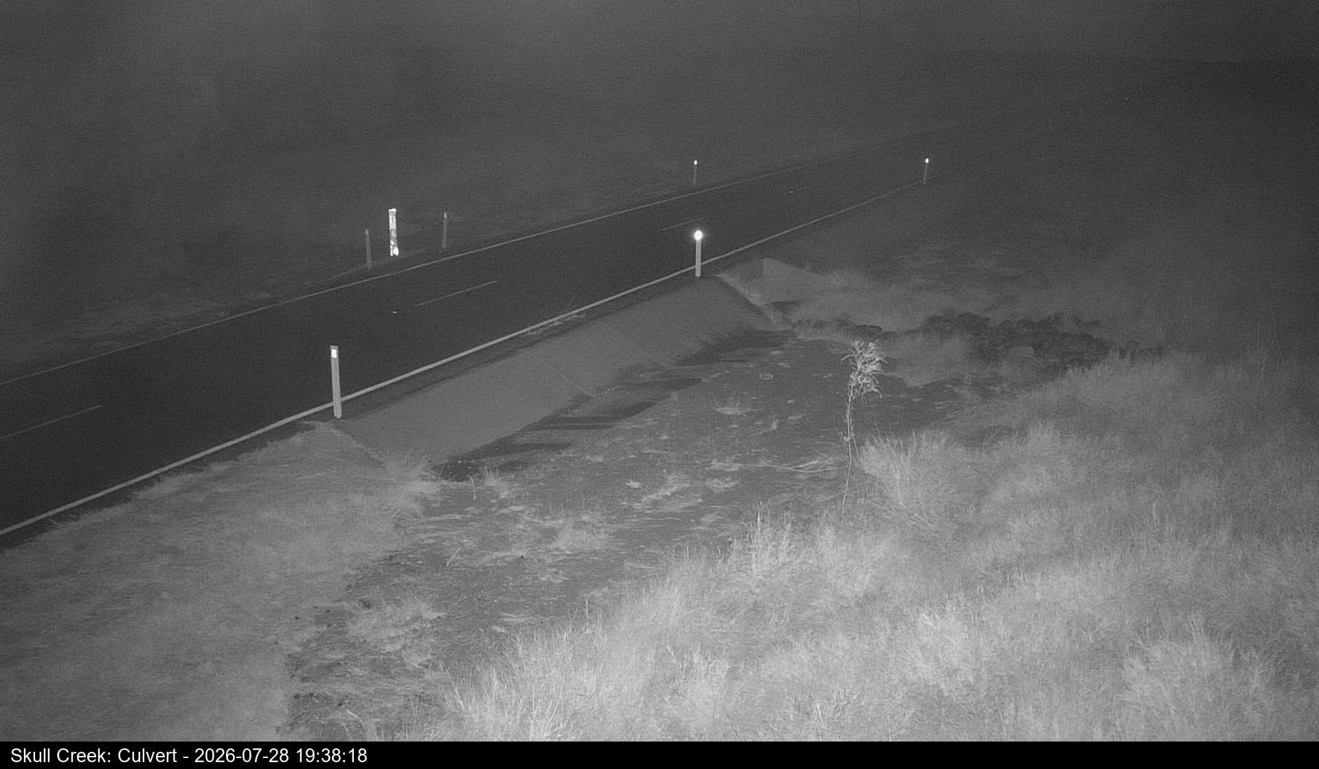
Skull Creek
28 km East of Hughenden – between Hughenden and Prairie
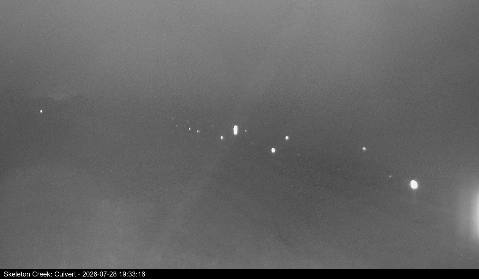
Skeleton Creek
36 km East of Hughenden – between Hughenden and Prairie
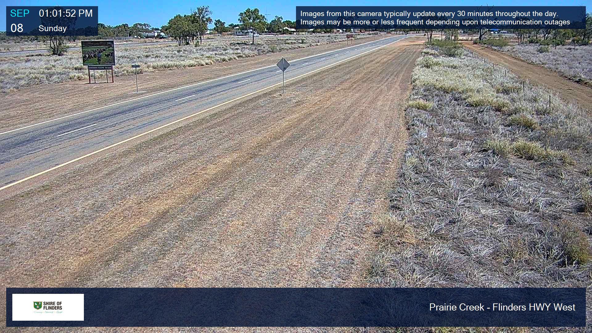
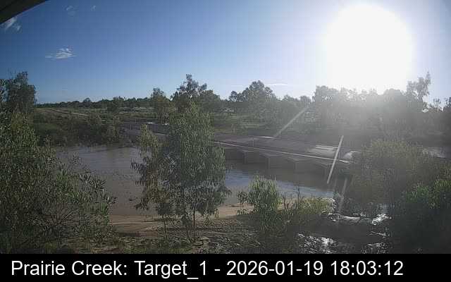
Prairie Creek (West)
Eastern side of Prairie Town Centre (facing West)
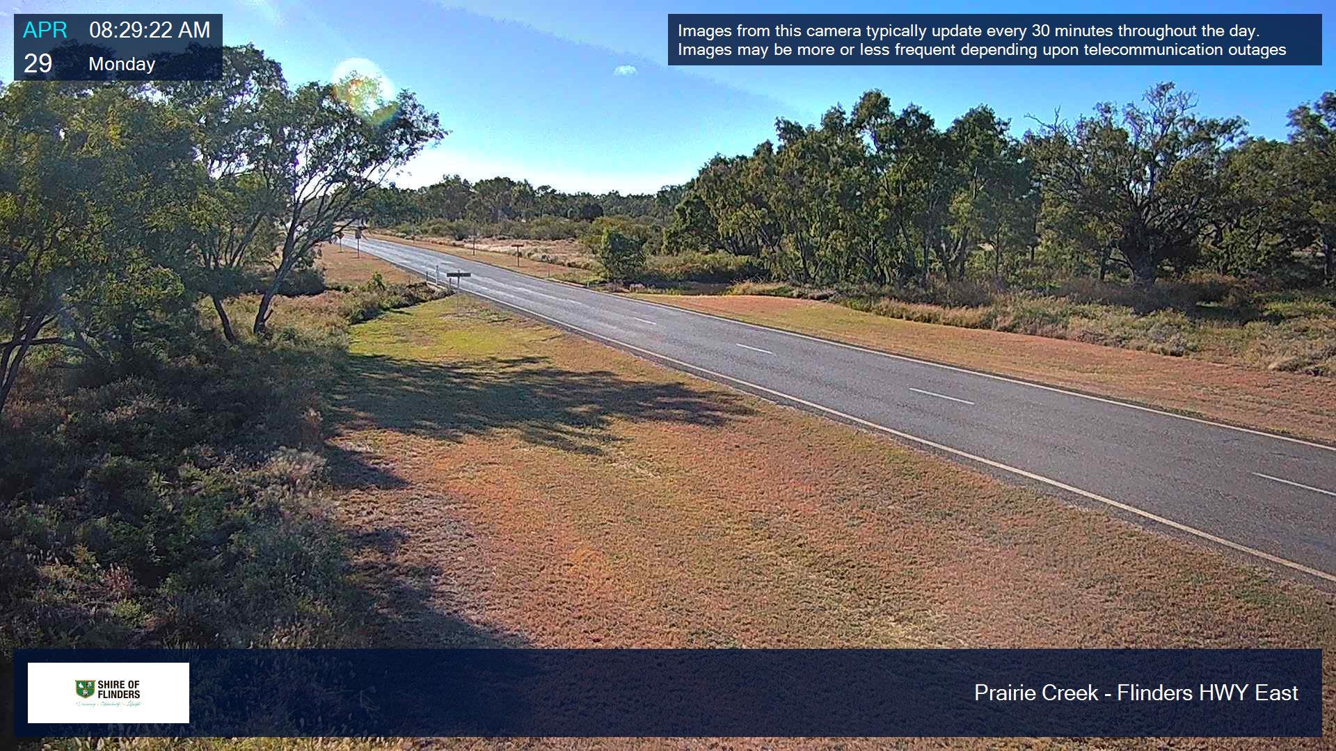
Prairie Creek (East)
Eastern side of Prairie Town Centre (facing East)
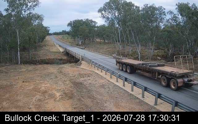
Bullock Creek
69 km east of Hughenden – between Prairie and Torrens Creek
Kennedy Developmental Road(Hughenden to Lynd)
Matchbox Creek
17.5 km northeast of Hughenden

Torrens Creek Aramac Road
Prairie Creek
108 km South of Torrens Creek
Hughenden to Muttaburra Road
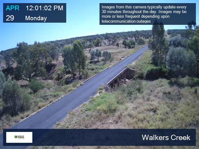
Walkers Creek
32 km South of Hughenden
Old Muttaburra Road (via Hughenden to Muttaburra Road)
70 km South of Hughenden