Roads
FLINDERS SHIRE COUNCIL - FLOOD MONITORING CAMERAS
- Flinders River
- Basalt Byways (Torver Valley Road)
- Flinders Highway (Hughenden to Charters Towers)
-
- Torrens Creek Aramac Road
- Hughenden to Muttaburra Road
- Old Muttaburra Road (via Hughenden to Muttaburra Road)
Flinders River |
Glendower Crossing (Flinders River Byways) |
Glenmoan |
Behind Hughenden Golf Club |
Ernest Henry Bridge (Flinders River) |
Alderley CrossingOld Richmond Road: 43km west of Hughenden |
Poseidon CrossingOld Richmond Road: 61km west of Hughenden |
Basalt Byways (Torver Valley Road) |
Galah Creek Bridge |
Flinders Highway (Hughenden to Charters Towers) |
Skull Creek28 km East of Hughenden – between Hughenden and Prairie |
Skeleton Creek36 km East of Hughenden – between Hughenden and Prairie |
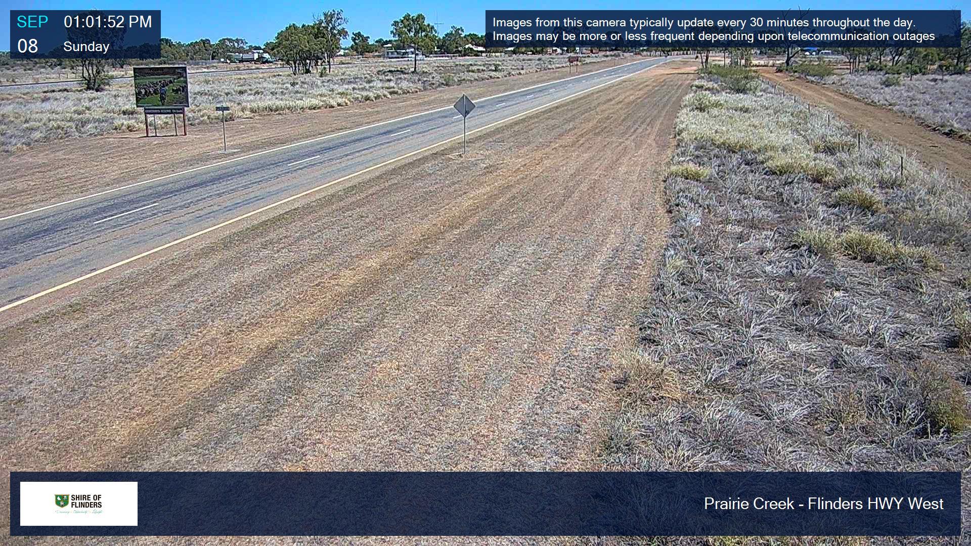
Prairie Creek (West) |
 |
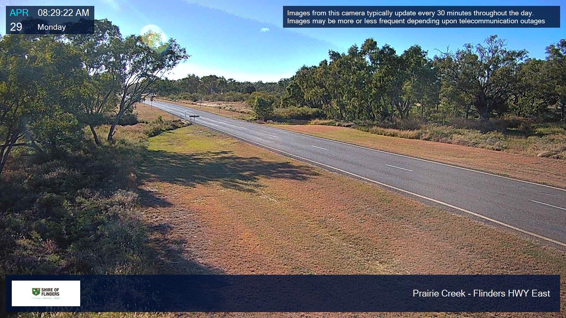
Prairie Creek (East) |
 |
Bullock Creek |
Kennedy Developmental Road |
Matchbox Creek |
Torrens Creek Aramac Road |
Prairie Creek108 km South of Torrens Creek |
Hughenden to Muttaburra Road |
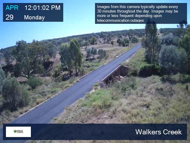
Walkers Creek |
 |
Old Muttaburra Road (via Hughenden to Muttaburra Road) |
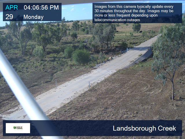
Landsborough Creek |
 |